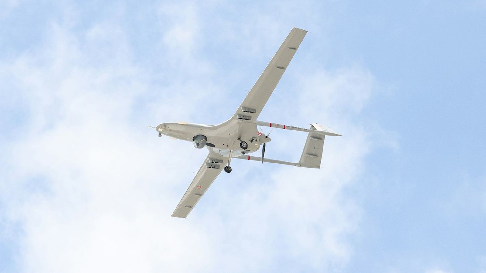
Mid-range VTOL ISR aircraft
Vinga
In service since March 2025
A fixed-wing aircraft that takes off and lands vertically, launched by two people from a vehicle or a boat deck, and flown autonomously along a search pattern while the operator works the sensor.
Fig. 1 Vinga in flight against a blue sky, seen from below 57°41′N 11°41′E
Key figures
90 min
Endurance
Sea level, 10 m/s wind, EO/IR payload
<3 min
Time to launch
From vehicle stop to airborne, two operators
40 km
Datalink range
Line of sight, encrypted C2 and video
IP54
Weather rating
Rain and dust; operations to -20 °C
Conditions for each figure are stated beneath it. Figures marked as targets are replaced with measured values at the end of flight testing.
What it is for
Vinga watches coastlines, borders and infrastructure from the air for an hour and a half at a time. The aircraft flies the pattern; the operator flies the camera. When something is found, its position, track and imagery are handed over to whoever needs to act, over the operator’s existing radio or network.
How it is operated
The system packs into two cases. From a stopped vehicle, two operators have the aircraft airborne in under three minutes. Take-off and landing are vertical and automatic, so there is no runway, no catapult and no net. Recovery is to a 5 m × 5 m area.
The ground station runs on a ruggedised laptop. The operator draws a search area on the map; the aircraft plans and flies the route, holding a sensor footprint over the area while adjusting for wind. Every detection is time-stamped and geo-referenced.
Autonomy
Vinga flies itself, including take-off, transition, cruise and landing. Navigation continues without satellite positioning for the length of a flight by matching terrain and coastline features. The aircraft never acts on a target; it finds, classifies and reports, and a person decides what happens next.
Integration
Video and detections are available over standard streaming protocols and a documented API. Vinga has been integrated with command-and-control systems used by coast guards and emergency services.