Missions
The same aircraft, four jobs.
Civil and defence customers fly the same systems. What changes is the search pattern, the sensor settings and who receives the picture.
Placeholder footage from Pexels and Mixkit, to be replaced with Adelt sensor recordings.
1
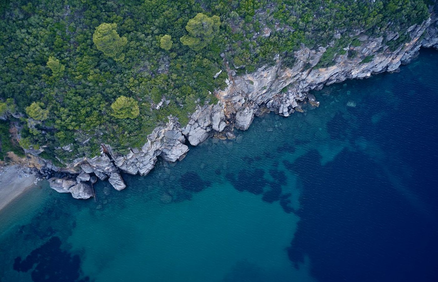
Coast guards, border agencies
Coastal surveillance
Patrol a stretch of coast or a sea border for ninety minutes at a time. Vessels are detected, correlated with AIS and tracked. Anything without a transponder is flagged for the operator.
Discuss this mission2
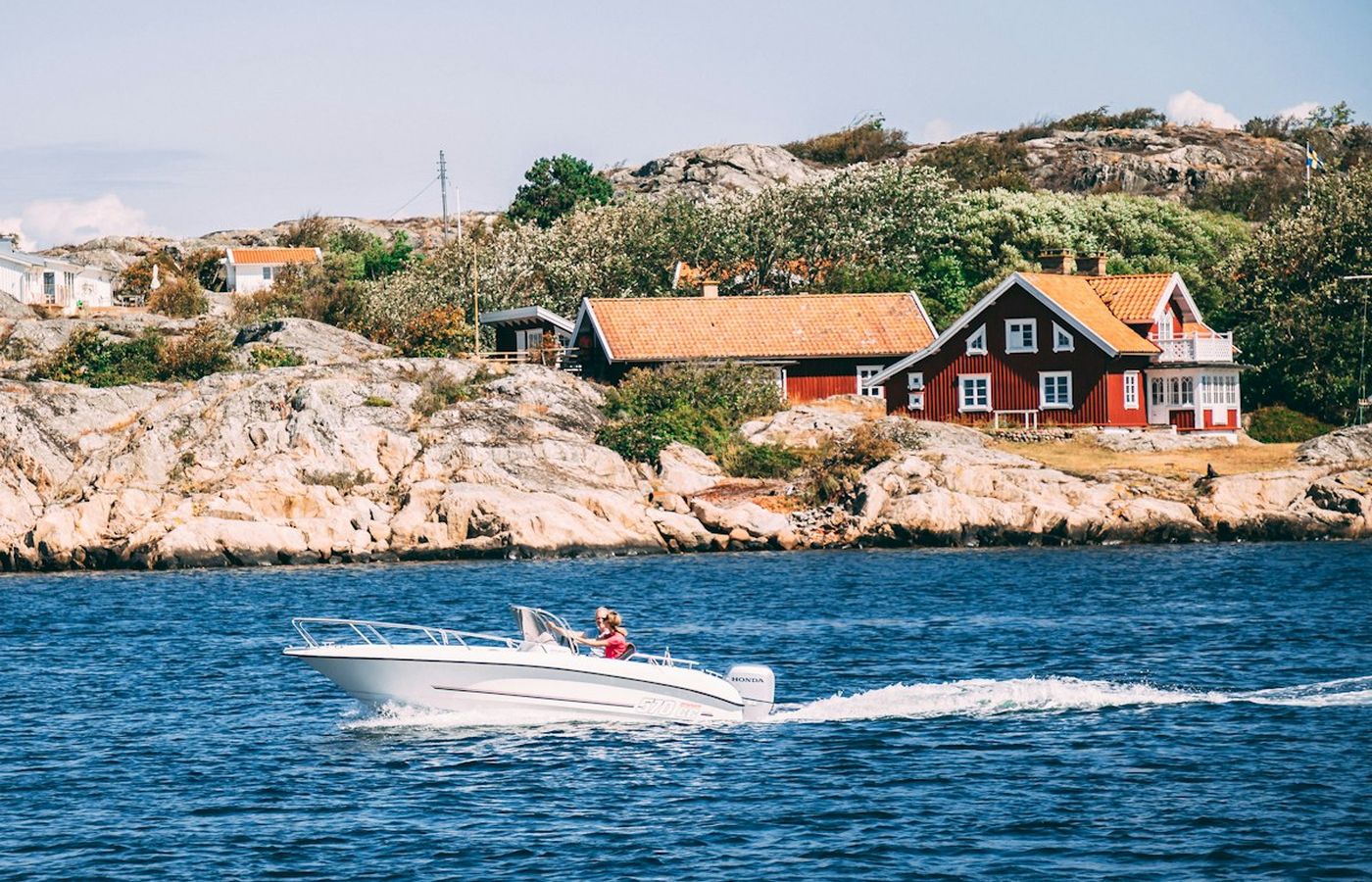
Sea rescue, emergency services
Search and rescue
Airborne in under three minutes from a rescue vehicle or a boat. Thermal imaging finds people in water and terrain at night. Positions go straight to the rescue crew’s radio.
Discuss this mission3
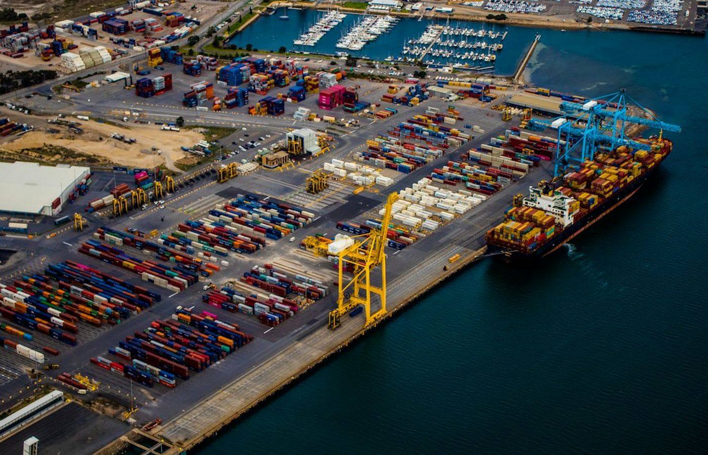
Utilities, ports, security operators
Critical infrastructure
Scheduled or alarm-triggered patrols over ports, pipelines, cables and substations. Detections are compared with the previous pass so changes stand out.
Discuss this mission4
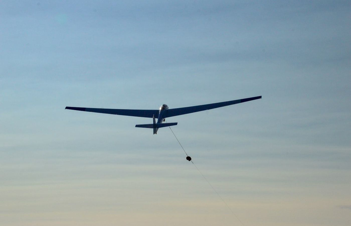
Armed forces, home guard
Defence ISR
Organic reconnaissance for a company or a vessel without an airfield. Navigation holds without satellite positioning. The aircraft reports; it does not engage. Defence enquiries are handled under export control.
Discuss this mission


